
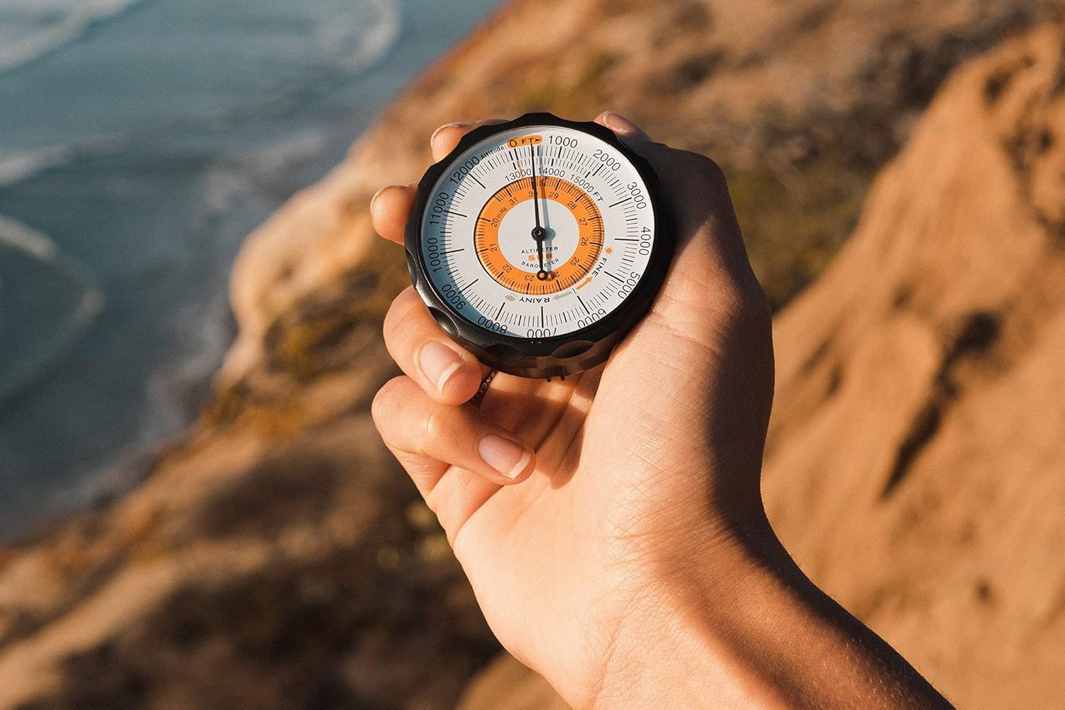
Barometric altimeters for hiking measure altitude by detecting changes in atmospheric pressure—as elevation increases, pressure decreases predictably. This relationship makes barometric altimeters reliable instruments for navigation, route planning, and safety on the trail.
How Barometric Altimeters Work
A barometric altimeter contains a pressure sensor that measures the air pressure at your current location. Since atmospheric pressure decreases predictably with altitude (roughly 100 meters per millibar), the altimeter calculates your elevation based on this pressure reading.
Unlike GPS altimeters, barometric altimeters are:
- Accurate to within 10-50 feet depending on the instrument and calibration
- Not dependent on satellite signals—they work in dense forests and canyons
- Energy-efficient compared to GPS receivers
- Fast to respond to elevation changes
Key Advantages for Hikers
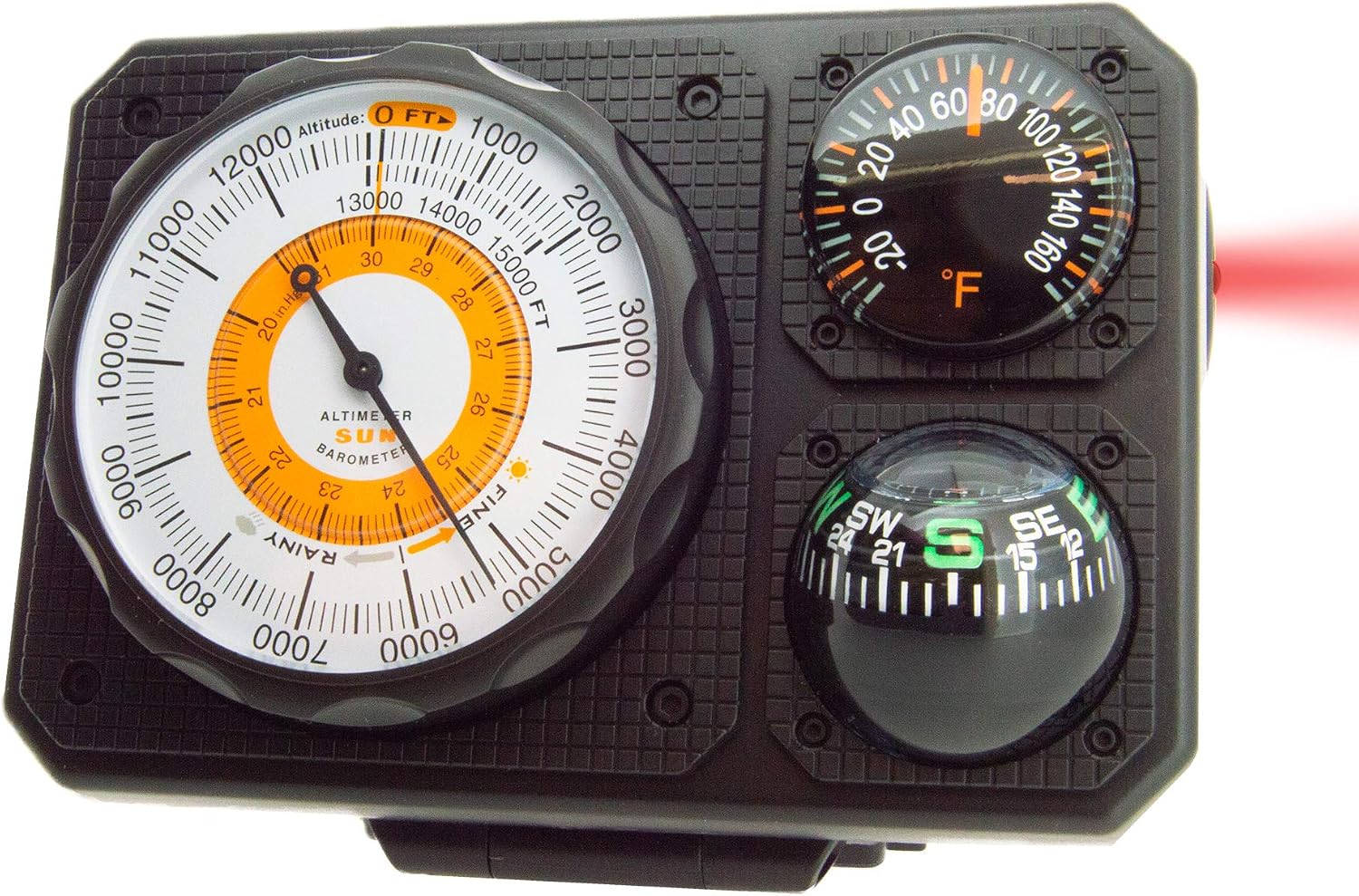
While most hikers likely already have a GPS for safety reasons, a barometric altimeter like Sun Company’s Altimeter 202 or the Navigat’r 6 is a great backup for several reasons.
Reliable Navigation in Poor Conditions
In dense forests, canyons, or areas with poor GPS coverage, a barometric altimeter provides consistent elevation data when GPS signals fail or become unreliable.
Battery Efficiency
Barometric altimeters consume far less power than GPS receivers. For multi-day backcountry trips, this efficiency can be the difference between a well-powered device and dead batteries.
Elevation Gain Tracking
Modern altimeters track cumulative elevation gain and loss, helping you understand the physical difficulty of your route and plan appropriately.
Weather Prediction
Barometric altimeters also display pressure trends. Rapidly falling pressure often signals approaching storms—valuable information when you’re hours from the trailhead.
Using an Altimeter for Route Planning
Before the hike: Compare your altimeter’s elevation readings with known waypoints on your map. This calibration ensures accuracy throughout your trip.
During the hike: Cross-reference altimeter elevations with topographic map contours to confirm your location and track progress toward your destination.
Elevation gain awareness: Use the cumulative elevation gain to gauge remaining effort. A hike with 3,000 feet of elevation gain ahead feels very different when you know what to expect.
Barometric Altimeters vs. GPS Altimeters
Barometric: Faster response, better in canyon/forest, more battery-efficient, weather-aware, slightly less accurate (±10-50 ft).
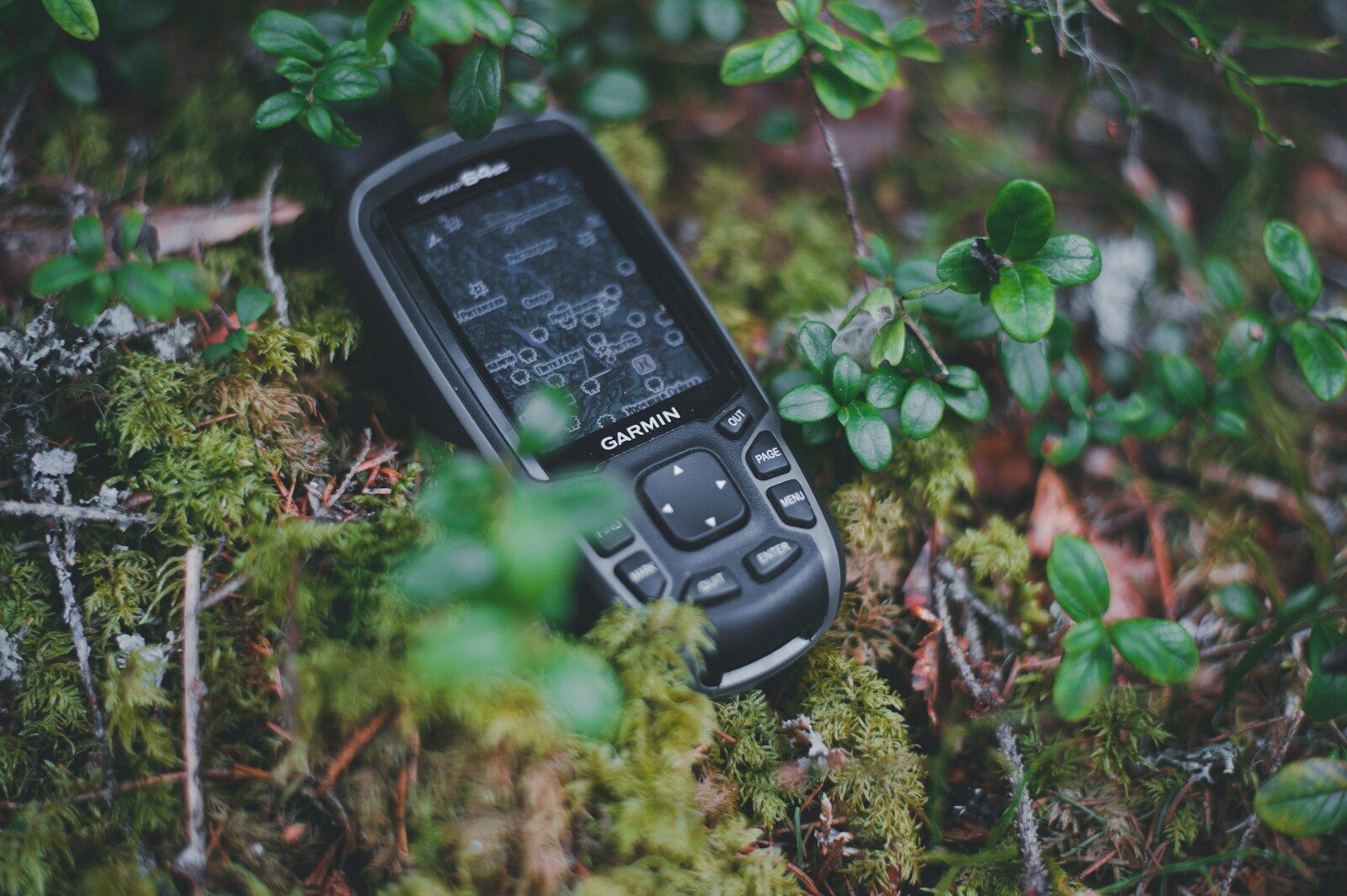
GPS: Works anywhere with clear sky, slightly more accurate (±5-15 ft), heavier battery drain, no weather trend data.
Best practice: Carry both if possible—use the barometric altimeter as your primary instrument and GPS as backup confirmation.
Choosing a Barometric Altimeter for Hiking
Look for these features:
- Elevation accuracy: ±10-50 feet is acceptable for hiking
- Cumulative elevation gain: Essential for route difficulty assessment
- Barometer with trend indicator: Shows pressure changes for weather prediction
- Waterproofing: Critical for mountain weather
- Battery life: Multi-day capacity for backcountry trips
- Lightweight design: Minimal pack weight penalty
- Durability: Mountain equipment takes abuse
Calibration Tips
Before your hike, calibrate your altimeter at a known elevation—your trailhead parking area, a map benchmark, or a summit you’ve hiked to before. This simple step improves accuracy throughout the day.
If you’re hiking at high altitude or in rapidly changing weather, recalibrate at waypoints where you know the elevation. Rapid pressure changes from weather systems can shift readings by 100-200 feet if uncalibrated.

Reading the Pressure Trend
Many barometric altimeters show a trend indicator—an arrow pointing up, down, or level. A falling pressure trend during your hike may signal incoming unsettled weather, even if skies are currently clear. Rising pressure indicates stable or improving conditions.
Key Takeaway
A barometric altimeter is a lightweight, reliable navigation tool that belongs in every hiker’s pack. It provides elevation data when GPS fails, conserves battery power, and warns of incoming weather. Combined with a topographic map and compass, a barometric altimeter makes you a safer, more confident navigator in the mountains.